 Weather Station System Information Weather Station System Information
| Station: Weather
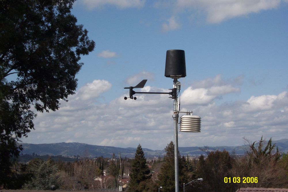
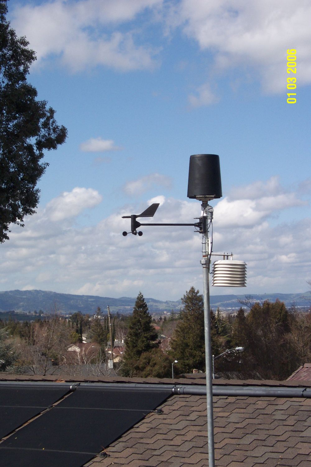
Monitor II - Davis
Instruments - Dec 1996 [Digitar "Weather Data" in
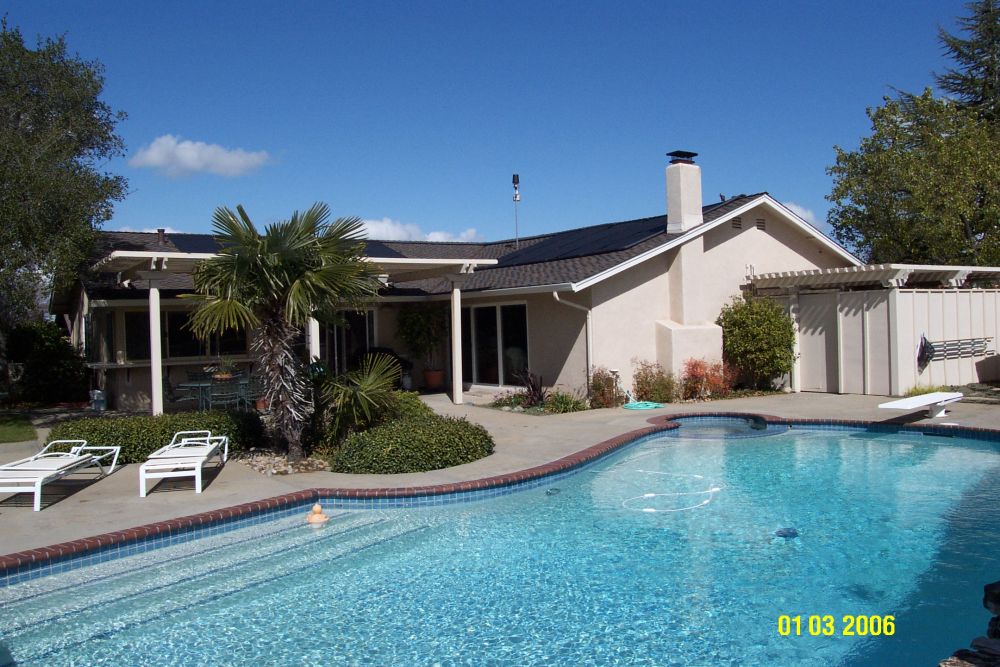
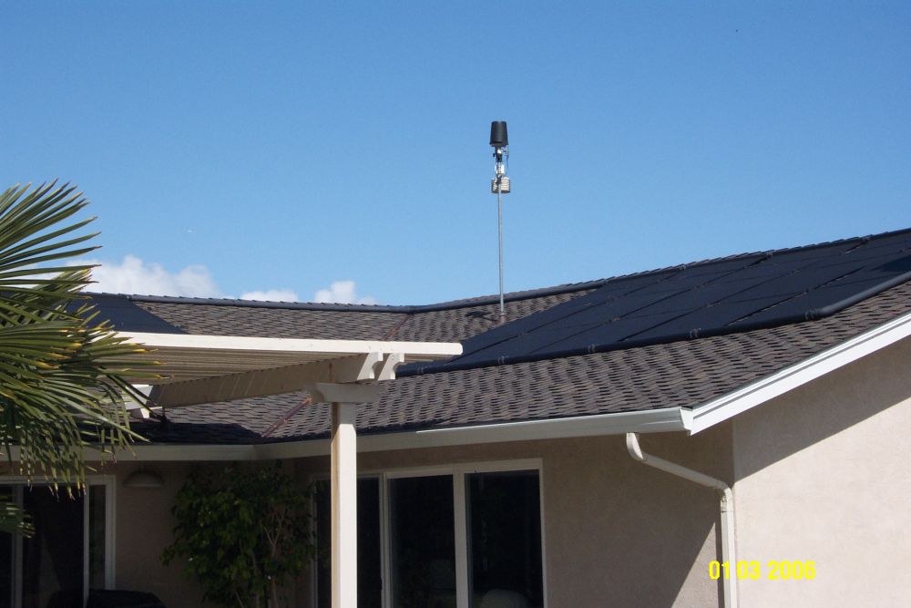
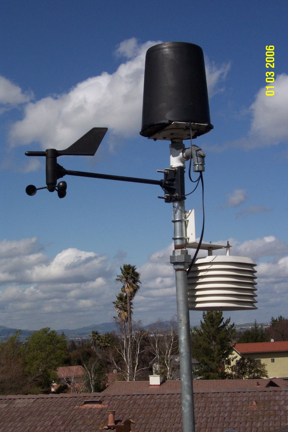
Sept. 1994] Rain Collector: Rain Collector II, 0.01" increments - Davis Instruments [installed Dec. 1996] Temp/Humidity: External Sensor with radiation shield - Davis Instruments [installed Dec. 1996] Software: WeatherLink 6.0.3 - Davis Instruments [installed Dec. 2012] Weather data uploaded to the WeatherUnderground every 10 minutes as station ID=KCALIVER9 Station Elevation: 538 feet as determined from subdivision plot plans & topographic maps Latitude: 37.6574128°N or 37° 39' 26.7"N determined using Google Maps & TopoZone Maps Longitude: -121.7807073°W or -121° 46' 50.6"W determined using Google Maps & TopoZone Location: 2123 Farmington Place, Livermore, California, USA Barometric pressure calibrated with the Livermore Airport barometer Camera: Logitech Pro 9000 - Software: Yawcam 0.7.0 |
Click on any image to view a larger picture
23 Apr 2022, 23:20:17